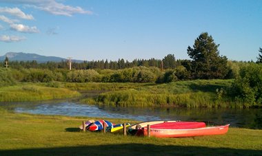
2013-06-27: Oxbow
The Little Deschutes River meanders through the Thousand Trails Campground in the Sunriver area. We used to ride canoes and kayaks here but now we just admire it from dry land.
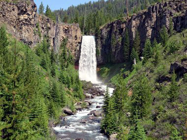
2013-06-28: Tumalo Falls
We have been coming to this area since the early 80's but had never heard about Tumalo Falls until this trip. With a sheer plunge of 89 feet, Tumalo Falls is both the tallest and most impressive waterfall along Tumalo Creek.
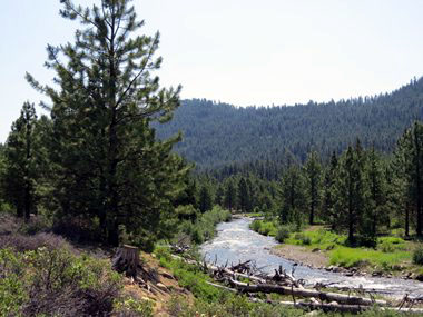
2013-06-28: Tumalo Creek
Tumalo Creek meanders through a broad floodplain that supports a rich array of wetland, riparian and forested habitat. It is a tributary of the Deschutes River.
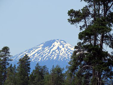
2013-06-28: Mount Bachelor
Mount Bachelor, formerly named Bachelor Butte, is a stratovolcano (a tall, conical volcano built up by many layers of hardened lava, pumice, and volcanic ash) atop a shield volcano (volcano usually built almost entirely of fluid lava flows).
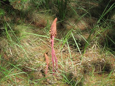
2013-06-29: Pine Drop
We have seen many of these reddish flower spikes that look like asparagus. We have been told that they are called pine drops and that they live in a parasitic relationship with the pine trees getting their nourishment from the roots of the trees.

2013-07-01: Quilting
The weather has been in the 80's and our campsite is shaded which made it perfect for activities such as reading, quilting...
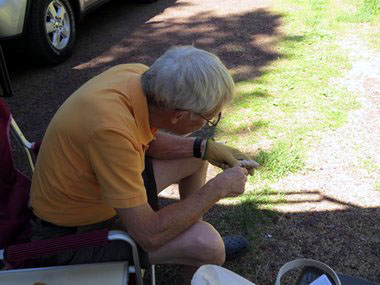
2013-07-01: Carving
...and carving.
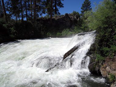
2013-07-03: Benham Falls
Around 1885, J. R. Benham attempted and failed to file a land claim near the falls so they were eventually named after him. Benham Falls is on the Deschutes River and is more cascade then falls. They were created by the eruption of nearby Lava Butte approximately 6,000 years ago, as the lava flow dammed the Deschutes, and formed Lake Benham. The river eventually flowed over the dam, draining the lake and thus forming Benham Falls.
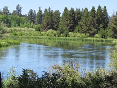
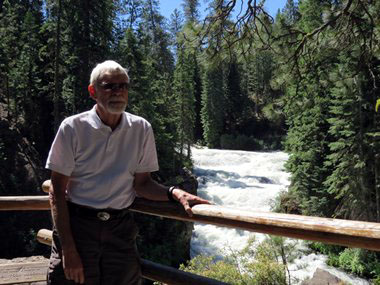
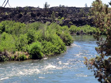
2013-07-03: Deschutes River
The Deschutes River meanders through Central Oregon and is a major tributary of the Columbia River. It is sometimes a calm, serene river like here while other places it is a haven for white water rafters.
2013-07-03: Dillion Falls
Dillion Falls has a 15-foot drop but is mostly a long series of violent rapids. It was named for Leander Dillon, a homesteader involved in large scale timber claims in 1906.
2013-07-03: Lava Island
The Deschutes splits around Lava Island, and then the main channel of the river chutes over a two-stepped cascade totaling about 15 feet in height. Because homes have been built along the river, we were only able to see where the river surrounded the island.

2013-07-04: Lawnmower Races
La Pine, was having big celebrations over the holiday weekend. We decided we just couldn't miss the lawnmower races. They had two classes: mowers that were actually used to mow lawns and then the souped up class. The winner of the regular mower raced was the young lady who had been crowned Miss La Pine the day before.
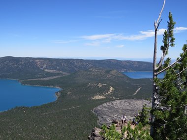
2013-07-05: Newberry Caldera
A visit to the Newberry Caldera is a must when visiting this area. From Paulina Peak Viewpoint, at 8000-feet one gets a spectacular view of this huge caldera that is the location of Paulina and East Lakes. Cinder cones and a large obsidian flow separate the lakes.
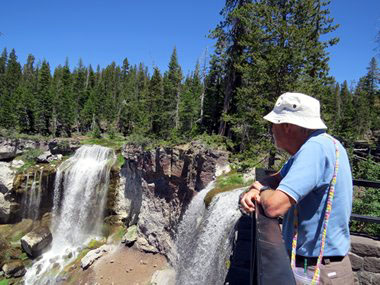
2013-07-05: Paulina Falls
Paulina Creek Falls is a double waterfall that drops 60 feet onto a jumble of rocks below.
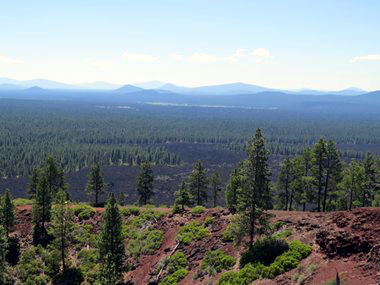
2013-07-08: Lava Butte
Today found us at 5020-feet atop Lava Butte, one of some 400 cinder cones in the area. From here we could not only see the lava flows but also had an incredible view of the surrounding snow-covered mountains.