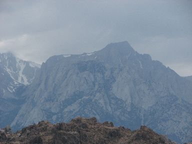
2009-06-15: Campsite View
We get to see Mt. Whitney from our campsite.
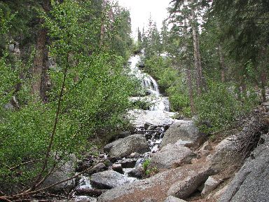
2009-06-15: Waterfall
The waterfall at the end of Whitney Portal Road is spectacular. This road takes us to 8360 feet. Mt. Whitney, the highest mountain in the lower 48 rises to 14,494 feet. We saw many hearty souls who had hiked to the top - better them than me!
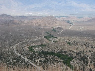
2009-06-15: Owens Valley
The jumble of rocks on the floor of the Owens Valley is known as the Alabama Hills. They were formed some 85 million years ago.
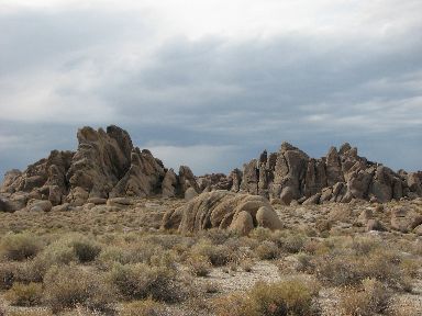
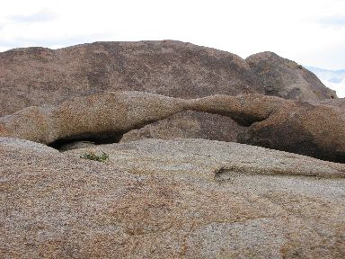
2009-06-15: Alabama Hills
In the 1920's Hollywood film makers were using the Alabama Hills as a backdrop for westerns. Some 300 films and numerous commercials have been shot on location here. Hopalong Cassidy and Lone Ranger westerns were filmed here as well as movies such as Yellow Sky, How the West Was Won, High Sierra and Maverick to name a few.
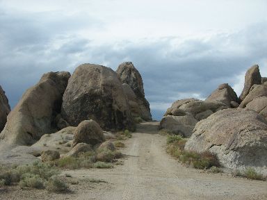
2009-06-15: Stagecoach Pass
Can't you just picture the stagecoach making its way through this pass? We tried it in the jeep!
2009-06-15: Heart Arch
We found several arches as we explored the hills. There was heart arch that we saw from a parking area...

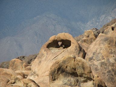
2009-06-15: Bird Arch
...and bird arch that we had to hike in to see.
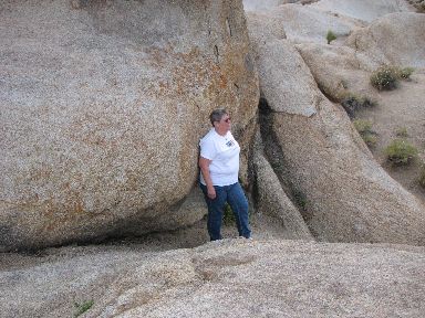
2009-06-15: Stuck
Tryna got stuck trying to hike right up to the arch so...
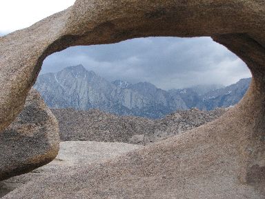
2009-06-15: View
...Al climbed up and got this shot through the arch. If we hadn't had the clouds, we would be able to see Mt. Whitney through the arch.
2009-06-15: Anteater Arch
Last but not least we found this arch which we called anteater arch because it looks like two anteaters nose to nose!